Remote Sensing Image Acquisition, Analysis and Applications
Skills:
ML Maths Basics60%
Key Takeaways
Introduces remote sensing image acquisition, analysis, and applications
Original Description
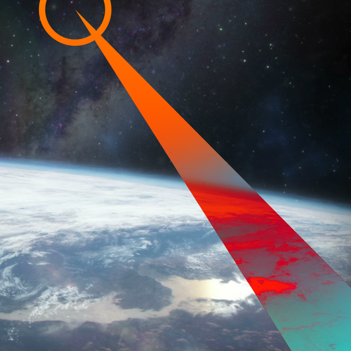
Welcome to Remote Sensing Image Acquisition, Analysis and Applications, in which we explore the nature of imaging the earth's surface from space or from airborne vehicles.
This course covers the fundamental nature of remote sensing and the platforms and sensor types used. It also provides an in-depth treatment of the computational algorithms employed in image understanding, ranging from the earliest historically important techniques to more recent approaches based on deep learning.
It assumes no prior knowledge of remote sensing but develops the material to a depth comparable to a senior undergraduate course in remote sensing and image analysis. That requires the use of the mathematics of vector and matrix algebra, and statistics. It is recognised that not all participants will have that background so summaries and hand worked examples are included to illustrate all important material.
The course material is extensively illustrated by examples and commentary on the how the technology is applied in practice. It will prepare participants to use the material in their own disciplines and to undertake more detailed study in remote sensing and related topics.
Watch on External: Coursera ↗
(saves to browser)
Sign in to unlock AI tutor explanation · ⚡30
More on: ML Maths Basics
View skill →



🎓
Tutor Explanation

 DeepCamp AI