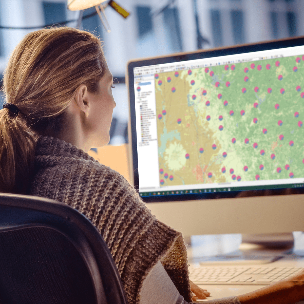
Geospatial Analysis with ArcGIS
Skills:
Data Literacy70%
Key Takeaways
Geospatial analysis with ArcGIS, focusing on analysis tools and 3D data
Original Description
Apply your GIS knowledge in this course on geospatial analysis, focusing on analysis tools, 3D data, working with rasters, projections, and environment variables. Through all four weeks of this course, we'll work through a project together - something unique to this course - from project conception, through data retrieval, initial data management and processing, and finally to our analysis products.
In this class you will learn the fundamentals of geospatial and environmental analysis during four week-long modules:
Week 1: How to represent spatial data and analyze spatial relationships using ArcGIS Pro
Week 2: Conduct Network-Based Analysis
Week 3: Demonstrate Heatmaps and Hotspot Analysis in ArcGIS Pro
Week 4: Expand your knowledge of data storytelling. Learn how to visually display your data and sharing your maps in ArcGIS Online.
Take Geospatial Analysis with ArcGIS as a standalone course or as part of the Geographic Information Systems (GIS) Specialization. You should have equivalent experience to completing the first and second courses in this specialization, "Fundamentals of GIS" and "GIS Data Formats, Design, and Quality", before taking this course. By completing this third class in the Specialization you will gain the skills needed to succeed in the full program.
Watch on External: Coursera ↗
(saves to browser)
Sign in to unlock AI tutor explanation · ⚡30
More on: Data Literacy
View skill →








Related Reads
📰
📰
📰
📰
11 Lessons I Learned After 4 Years as a Content Writer
Medium · Data Science
Why I Stopped Using Copy.ai After Three Months (And What I Switched To Instead)
Medium · AI
The Draft That Sounds Perfect Is Usually the One to Throw Away
Medium · AI
The Draft That Sounds Perfect Is Usually the One to Throw Away
Medium · ChatGPT
🎓
Tutor Explanation

 DeepCamp AI